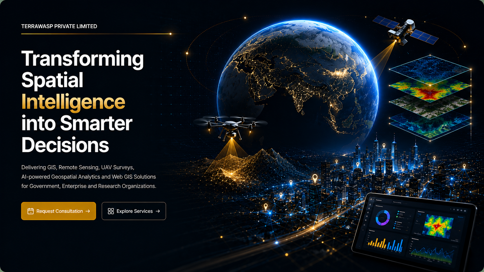
Transforming Spatial Intelligence into Smarter Decisions
Delivering GIS, remote sensing, UAV surveys, AI-powered spatial analytics and enterprise Web GIS solutions for government, infrastructure and research organizations.
Built for government, enterprise and research-led delivery
TerraWasp combines technical depth, field execution, spatial analytics and digital delivery to support high-value mapping, monitoring and decision-support programs.
Enterprise geospatial capabilities across the full project lifecycle
From remote sensing and UAV data capture to AI-driven analytics, digital twins and web GIS delivery, TerraWasp supports complex programs with premium execution standards.
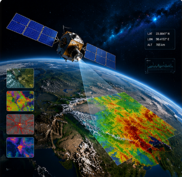
Remote Sensing
Satellite image interpretation, classification, change detection and thematic mapping.
Learn More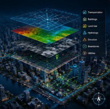
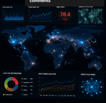
Spatial Data Analytics
Decision-support analytics, modeling and insight generation for complex datasets.
Learn More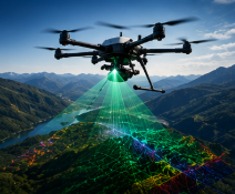

Web GIS Development
Interactive web mapping systems, dashboards and enterprise geospatial portals.
Learn More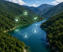
AI & Machine Learning
AI-powered geospatial analytics for classification, prediction and monitoring.
Learn More
Digital Twin
Spatially enabled digital replicas for infrastructure, utilities and urban systems.
Learn MoreEnvironmental Monitoring
Monitoring ecosystems, land change, water bodies and environmental indicators.
Learn More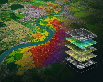
Land Use Land Cover Mapping
LULC mapping for planning, compliance, resource assessment and policy support.
Learn More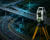
Infrastructure Survey
Survey support for roads, utilities, public assets and engineering programs.
Learn More
Utility Mapping
Asset mapping and network intelligence for utility planning and maintenance.
Learn More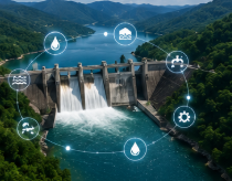
Water Resource Management
Hydrological mapping, watershed analysis and water system decision support.
Learn More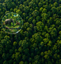
Forest & Biodiversity Mapping
Spatial intelligence for habitat assessment, conservation and natural resources.
Learn More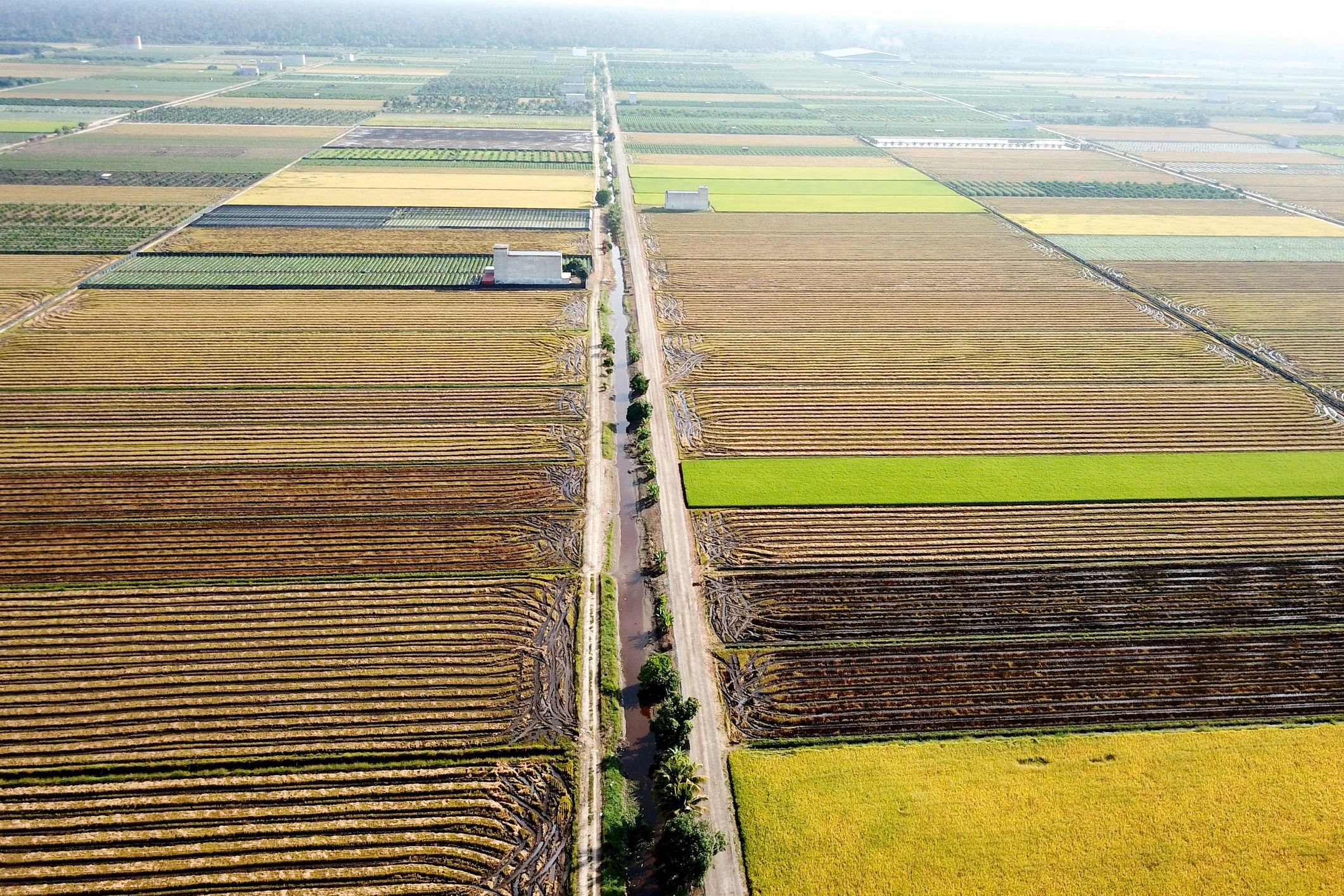
Disaster Management
Preparedness, rapid mapping and post-event geospatial assessment workflows.
Learn More
Smart City GIS
Integrated urban intelligence for planning, monitoring and digital governance.
Learn MoreSector expertise for complex spatial programs
Our delivery model supports public institutions, infrastructure owners, utilities, environmental programs and enterprise operations that depend on reliable spatial intelligence.

Delivering Geospatial Intelligence Across India and International Markets
Supporting Government, Enterprise and Global Organizations.
Modern tools powering TerraWasp delivery
A flexible ecosystem spanning desktop GIS, cloud processing, open-source mapping, AI frameworks and field technologies.
A premium geospatial partner built for confidence
TerraWasp is positioned to support stakeholders who expect technical rigor, polished deliverables and dependable execution across consulting, fieldwork and digital systems.
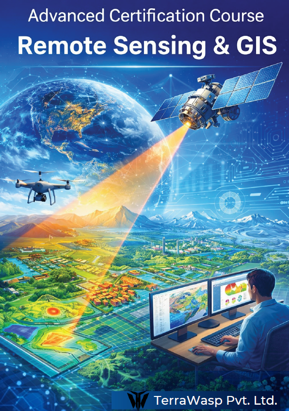
4-Month Advanced Certification Course in Remote Sensing & GIS
A focused professional program designed to build practical geospatial capability without shifting the homepage away from TerraWasp’s consulting and enterprise positioning.
Confidence built through quality, clarity and execution
A premium presentation layer for stakeholder trust, supported by strong technical capability and polished communication.
“TerraWasp brings a rare combination of technical depth and executive-level presentation quality. Their outputs feel built for serious decision-making.”
Government Program Stakeholder
“The team translated complex geospatial requirements into clear dashboards, maps and deliverables that our leadership could act on quickly.”
Enterprise Client
“From field survey coordination to digital outputs, the delivery experience felt structured, responsive and highly professional.”
Research Collaboration Partner
Ready to discuss your next geospatial initiative?
Connect with TerraWasp for consulting, project execution, digital mapping systems and training inquiries.