
End-to-end
GIS, imagery, survey, analytics
Core Platforms
Technologies We Use
GIS Platforms
Enterprise GIS environments for mapping, asset intelligence, spatial planning, and operational decision support.
Remote Sensing
Satellite image processing, classification, change detection, and Earth observation workflows for large-area analysis.
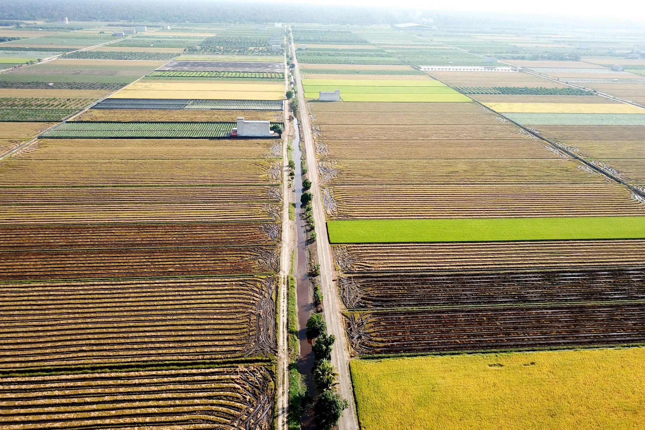
UAV and Drone Survey
High-resolution aerial capture, orthomosaics, terrain models, and rapid field data acquisition for project sites.
GPR and Subsurface Mapping
Ground-penetrating radar workflows for underground utility detection, corridor studies, and infrastructure planning.
Web and Mobile GIS
Interactive dashboards, map portals, and mobile field applications that connect teams to live spatial data.
AI and Spatial Analytics
Machine learning, predictive modeling, and automated feature extraction for faster, smarter geospatial insights.
Capabilities
Built for Complex Projects