
Training & Certification
Advanced Geospatial Training for Future-Ready Professionals
Build practical capability in GIS, remote sensing, drone survey workflows, spatial analytics, and applied geospatial technologies through TerraWasp Private Limited’s industry-aligned certification program.
Program Overview
What You Will Learn
This certification track is designed for graduates, working professionals, and technical teams seeking applied geospatial skills with direct relevance to government, infrastructure, environmental, and enterprise projects.
Core GIS Skills
Learn map creation, spatial data management, coordinate systems, georeferencing, digitization, and thematic analysis for real project workflows.
Remote Sensing
Understand satellite imagery interpretation, image preprocessing, classification methods, change detection, and land use analysis.
Drone & Field Work
Explore UAV survey fundamentals, field data capture, orthomosaic generation, terrain products, and survey planning essentials.
Applied Analytics
Develop exposure to web GIS, mobile GIS, spatial dashboards, and AI/ML concepts for geospatial decision support.
Highlights
Built for Practical Outcomes
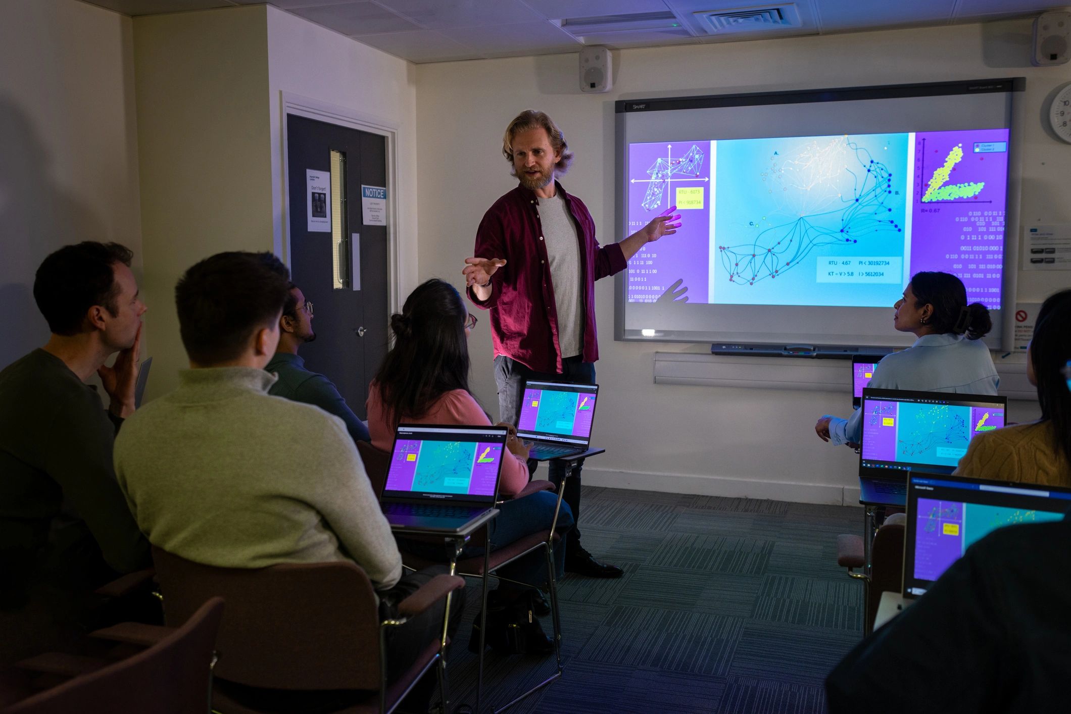
The program combines conceptual understanding with hands-on exposure so learners can move from classroom knowledge to project-ready execution.
Learning Path
Who This Program Supports
Students & Graduates
Build job-ready geospatial fundamentals and strengthen your technical profile for entry-level opportunities.
Working Professionals
Upskill in modern GIS, remote sensing, and spatial workflows to expand your role or transition into geospatial domains.
Technical Teams
Enable internal capability development for organizations that need trained staff for mapping, survey, and analytics work.
Project Aspirants
Prepare for field-linked and office-based roles across infrastructure, environment, utilities, planning, and governance projects.
Certification Value
Why Train with TerraWasp
